


Cnes
SWOT: presentation leaflet
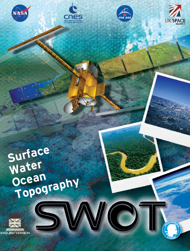
The presentation leaflet of SWOT produced by Cnes on 2015 shows Climate and water issues, SWOT response, France/USA cooperation, Innovative concept of the Karin instrument, Calendar, the funding, the donwstream preparatory program, Potentiel applications...
SWOT will provide 2D maps of water elevations with a vertical accuracy of 24mm over ocean and 10 cm over continental surfaces (averaging over 1 m²of surface areas), of 1.7 cm/km on estimated water slopes and 25% on masks water.
Oceanography
SWOT will characterize the mesoscale and sub-mesoscale circulation at spatial resolution of about 15 km and more.
Hydrology
SWOT will provide a comprehensive inventory of all inland water bodies whose surface is at least 250 m × 250 m (lakes, wetlands, reservoirs) and rivers with a minimum width of 100 m. SWOT will measure variations in water storage and river flow discharge at monthly, seasonal and annual scale.
Downloads
| File | Type | Size | Lang | Resolution | Creation date | Represented date |
|---|---|---|---|---|---|---|
| SWOT_flyer_UK_2015.pdf | Electronic document | 1.52Mb | en | 2015-06-15 | ||
| SWOT_flyer_FR_2015.pdf | Electronic document | 1.5Mb | fr | 2015-06-15 | ||
| SWOT_flyer_UK_2015_screen.png | Image | 1.26Mb | 634x836 | 2015-06-15 |
- Instrument : Altimeter
- Topic : Hydrology, Mesoscale Ocean circulation (eddies)
- Satellite : Swot