

Cnes, June 2015
Altimetry applications in videos : Mean Sea Level Rise
Almost three quarters of the Earth’s surface are covered by oceans: oceans are a key-element of our global climate system. It is a reality, the oceans respond to climate change: as a result of human activity and greenhouse gases, the climate is warming, the ocean expands and its level rises. Oceans are under close surveillance at all times: altimetry satellites accurately measure the sea level with a homogeneous and continuous global coverage since the launch of Topex-Poseidon in 1992.
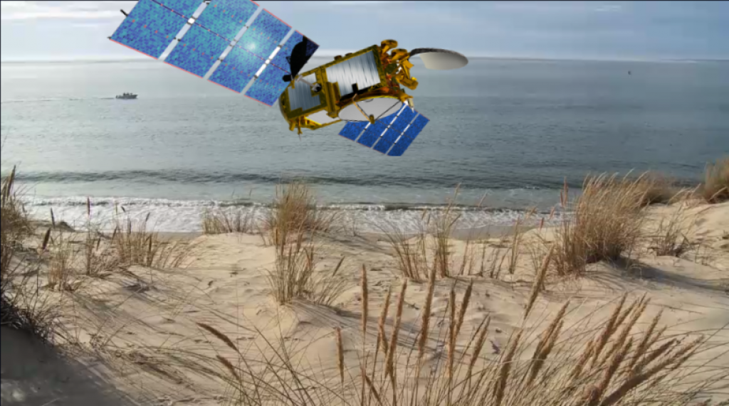
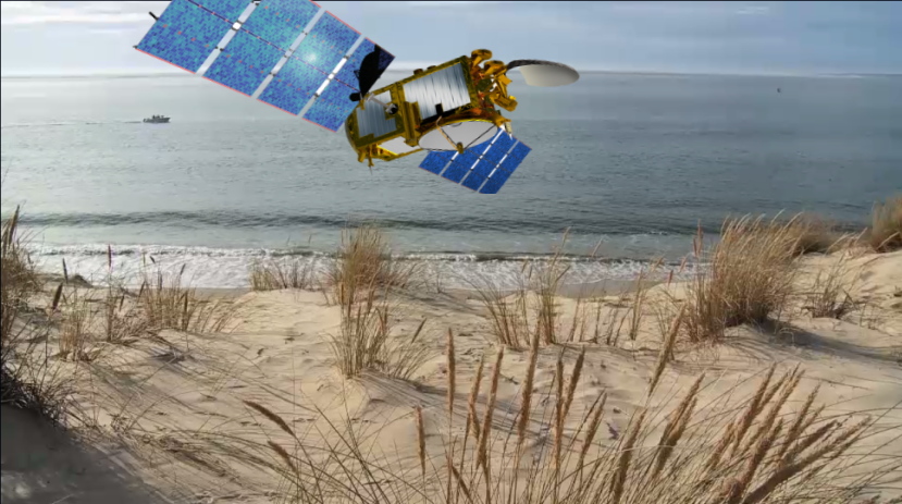
The Jason-3 mission will soon complement this satellite constellation currently in flight by providing continuity of measurements that is essential for observing climate change.
Downloads
| File | Type | Size | Lang | Resolution | Creation date | Represented date |
|---|---|---|---|---|---|---|
| gallery_video_msl.png | Image | 732.04kb | 829x463 | 2015-09-23 | ||
| niveau_programme_uk.mp4 | Video | 29.32Mb | en | 2015-06-15 | ||
| niveau_programme_fr.mp4 | Video | 29.46Mb | fr | 2015-06-15 |
- Instrument : Altimeter
- Topic : Climate, Mean Sea Level
- Satellite : Jason-3