

Cnes/Mira Production
SWOT and the Camargue (video)
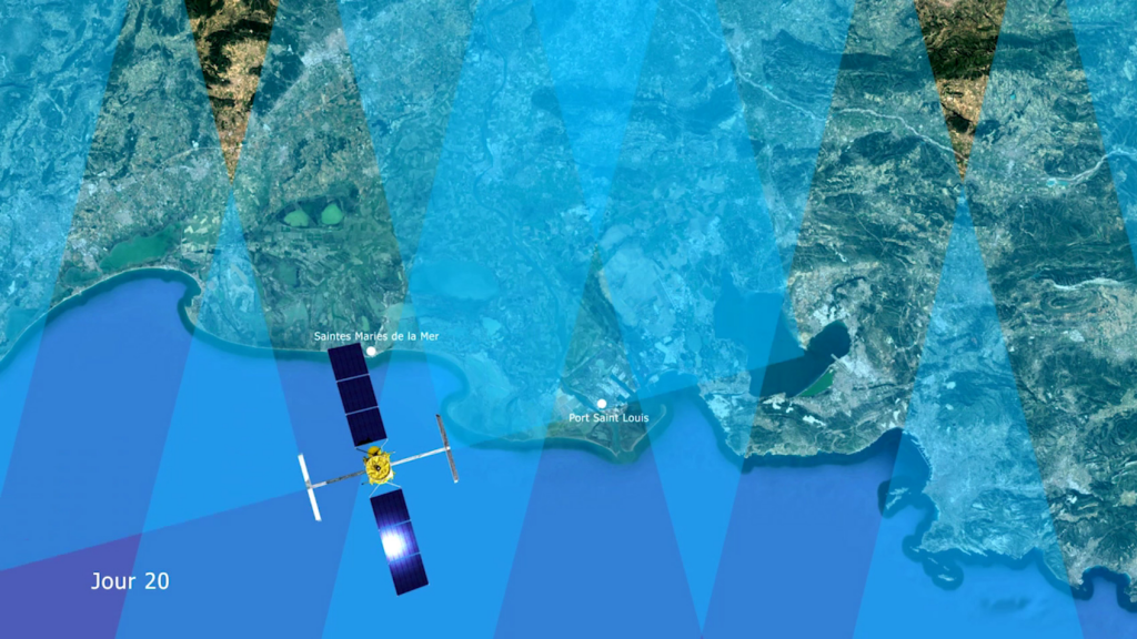
Like all delta regions, the Camargue maintains a delicate balance between freshwater and saltwater. How can we safeguard this exceptional environment from the effects of a warming climate, rising water levels, increasingly intense storms, scarce water resources and sudden flooding from the Rhone? Today, two competing solutions are envisioned. Erect dykes and levees at all costs, a solution that sometimes produces questionable results. In particular, dykes channel alluvial deposits out to sea while the delta continues to erode. And maintaining such structures is very expensive. Or favour a strategic retreat, allowing nature to take its course and erect its own barriers, at the risk of jeopardizing farming and other businesses. The key is to hit the sweet spot between these two solutions, but we lack a global tool to inform decisions. What kind of dyke should we erect to protect towns and cities? What kind should we erect or even abandon, leaving nature to restore natural defences upstream? Alongside the Copernicus programme’s Sentinel satellites, the future SWOT satellite could be a chance for the Camargue. With its high two-dimensional resolution, SWOT will cover the entire region every 21 days, surveying and delivering new insights into coastal seas and the currents and eddies that contribute to the process of erosion. It will supply detailed data on the volume and discharge of freshwater in rivers and wetlands. Combining data on land surface hydrology and coastal oceanography will give a synoptic view, helping scientists to validate a model of water dynamics in delta regions and land planners to better adapt human activities to the reality of climate change in the Camargue. Production Cnes
See also on https://youtu.be/-Eor23NDXuQ
Downloads
| File | Type | Size | Lang | Resolution | Creation date | Represented date |
|---|---|---|---|---|---|---|
| Swot_camargue.jpg | Image | 580.63kb | 1695x954 | 2018-01-15 | ||
| swot_camargue_sd_en.mp4 | Video | 23.6Mb | en | 2018-01-15 | ||
| swot_camargue_sd_fr.mp4 | Video | 23.62Mb | fr | 2018-01-15 |
- Geographic area : Europe
- Instrument : Altimeter
- Parameter : Surface height
- Topic : Coastal applications, Hydrology
- Satellite : Swot