


Cnes/Mira Production
SWOT - The lake surveyor (video)
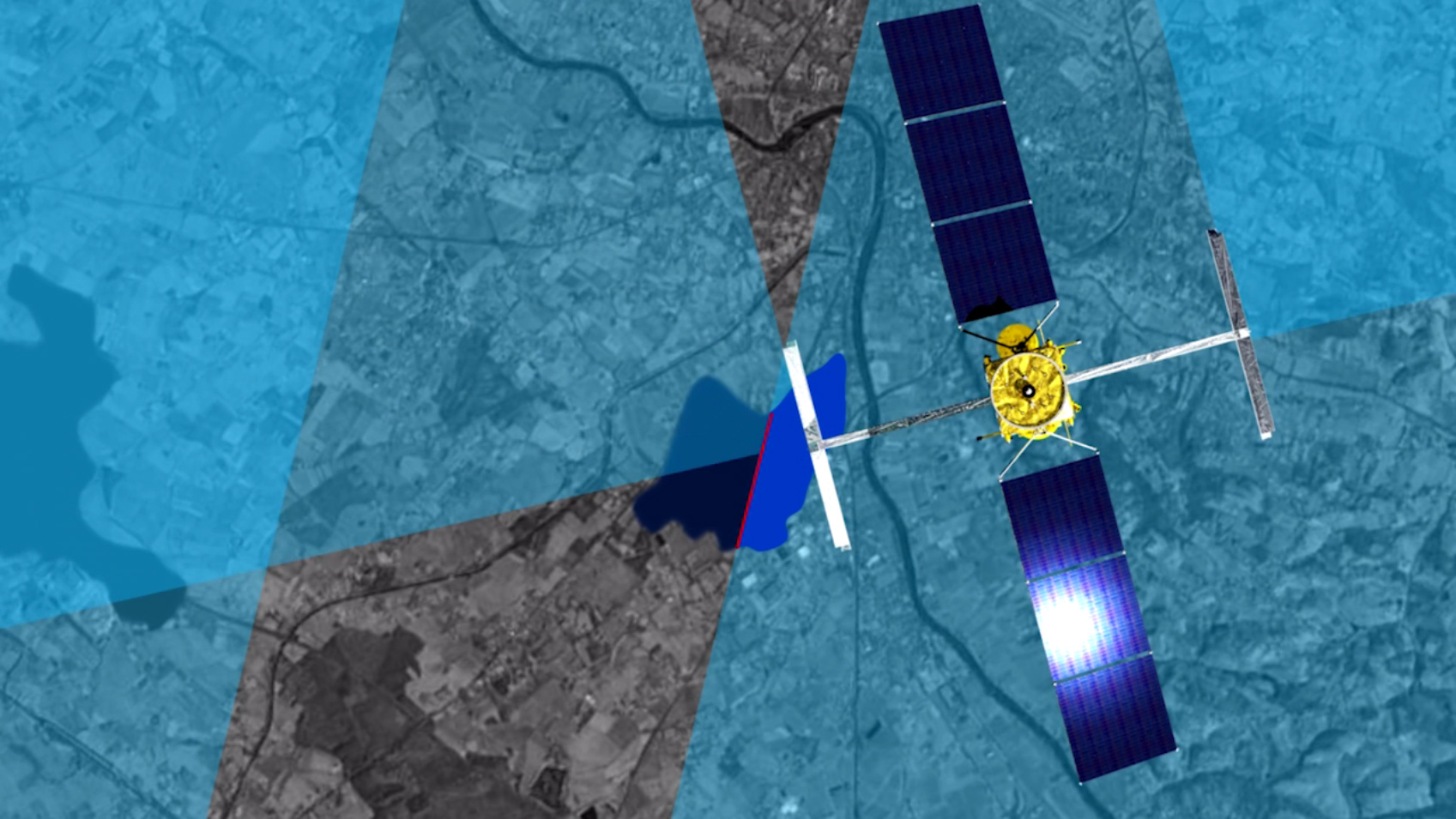
The SWOT satellite is set to survey the height, area and changes in volume over time in lakes with a surface area of 6 hectares or more, i.e. an outline of 250 metres by 250 metres. Ultimately, the mission hopes to be able to observe water bodies of 100 metres by 100 metres. More than 20 million lakes will be surveyed to deliver two types of product to users: - A single-pass product will provide the area, surface height and change in water volume. Combined with bathymetry information, i.e. a lake’s bottom topography, these data will enable the absolute amount of water stored to be deduced. - A mean-cycle product will provide the mean surface height and area of a lake over a 21-day cycle. During this cycle, a lake can be observed once at the equator and up to 12 times at high latitudes. In some cases, part of a lake will be seen on one pass and gaps filled in on the next, combining the areas measured.
These two products will enable lakes to be tracked over time. Lakes like Issyk Kul in Kyrgyzstan. SWOT will be able to survey this 180-kilometre-long lake throughout the year and monitor changes in its height and area.
see also https://youtu.be/ef2q-I2EGfA
Downloads
| File | Type | Size | Lang | Resolution | Creation date | Represented date |
|---|---|---|---|---|---|---|
| swot_lacs_sd_fr.mp4 | Video | 17Mb | fr | 2018-01-15 | ||
| swot_lakes_sd_en.mp4 | Video | 16.8Mb | en | 2018-01-15 | ||
| Swot_lakes2.jpg | Image | 376.24kb | 1697x955 | 2018-01-15 |
- Geographic area : Africa, Asia, Europe, North America, Oceania, South America
- Instrument : Altimeter
- Topic : Hydrology
- Satellite : Swot