

Cnes/Mira Production, 2021
Meteorology and rogue waves video
updated 2021
A wave model describes and predicts sea state in terms of wave height, period and direction. Combined with atmospheric measurements, altimetric data are vital to obtain a precise picture of sea state that closely matches observations.
First, wave heights observed by altimeters are assimilated to correct errors generated by the physics of the wave model or by uncertainties due to atmospheric forcing. These data are used to generate forecasts. Then, model results are compared to real altimetric measurements of sea-surface height and corrected in real time where errors are detected. The model at national weather service Meteo-France provides seastate parameters every 3 hours and forecasts out to 10 days. Using these outputs, forecasters draw up daily marine safety bulletins for their area of responsibility. The
level of confidence for 6-hour forecasts is better than 90%. For 3 days, it is still good at around 70%.
These data are crucial to maritime safety, not only to give early warning to populations living near coasts in the event of a storm but also for ships so they can change course to avoid very-low-pressure zones. The current model warns ships of the risk of encountering rogue waves, which can be detected by altimetry satellites. Such waves are most likely to occur in the North Atlantic. For example, during the winter storms of 2014, the SARAL satellite measured waves of more than 14 metres.
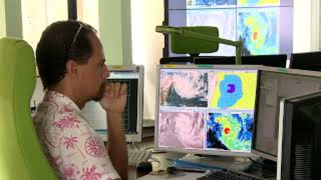
Wave height measured by SARAL
Satellite altimetry has also enabled detection of sharp variations in wave height indicating strong wave/current interactions and consequently a high likelihood of rogue waves.
After Jason-1 and Envisat from 2002 to 2013 and Jason-2 from 2008 to 2020 reached the end of their mission lifetimes, the wave model currently uses data from SARAL/ AltiKa, Jason-3, CryoSat-2 and Sentinel-3, which is part of the European Copernicus service. The latest development concerns data from the new CFOSat mission, which measures both wave height and direction of dominant waves to further improve the wave model and enhance maritime security and protection of people and property in coastal areas.
https://www.aviso.altimetry.fr/en/applications/atmosphere-wind-and-waves/wind-and-waves/rogue-waves.html
https://youtu.be/wtI49Jp3NZc
Downloads
| File | Type | Size | Lang | Resolution | Creation date | Represented date |
|---|---|---|---|---|---|---|
| 09_meteorology.jpg | Image | 11.1kb | 320x180 | 2021-10-01 | ||
| 09_meteorology.mp4 | Video | 29.56Mb | en | 2021-10-01 | ||
| 09_meteorology_rogue_waves.pdf | Electronic document | 6.41Mb | en | 2021-10-01 | ||
| 09_meteorologie.mp4 | Video | 29.76Mb | fr | 2021-10-01 | ||
| 09_meteorologie_vagues.pdf | Electronic document | 6.42Mb | fr | 2021-10-01 |
- Geographic area : All oceans
- Instrument : Altimeter
- Parameter : Wave height
- Topic : Wind and waves
- Satellite : Multimission