

CNES / EUMETSAT / MIRA PRODUCTIONS
The Aral Sea
The Aral Sea is an enclosed sea in the heart of a geological depression in Central Asia, it is also very salty, shallow, in a semi-arid climate. These simple physical and geographical characteristics make it dependent of river systems that are pouring into it: the Amu Darya to the South of the "Large" Aral Sea and the Syr Darya to the North, on the "Small" Aral Sea. Other geopolitical characteristics have to be taken into account because three main countries share its resources: Kazakhstan and Uzbekistan are riparian countries while Turkmenistan is situated in its catchment area, on the upstream basin of the Amu Darya.
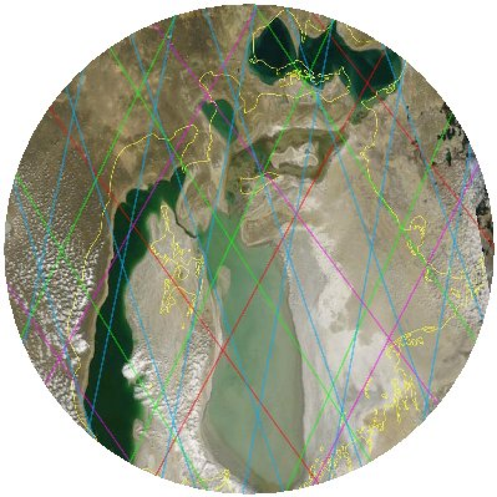
Although, the radar altimeter is not able to "take pictures" strictly speaking, as the optical or radar imagers satellites can do it, it is remarkable for being an efficient tool in monitoring the level of enclosed seas, lakes and even large rivers. Thus, each of the Aral Sea is flown over - or was overflown - by ERS-1, Topex/Poseidon, followed by ERS-2, GFO, Jason-1 and Envisat. Since 1991, this serie of satellites measure the two seas antagonistic fluctuations. Their task is not easy when the water recedes because the altimetry measurements accuracy can be degraded on heterogeneous surfaces.The altimetry satellite, Jason-2, ensure the continuity of the Aral Sea monitoring. With a new measurements processing algorithm onboard, it is able to better define the land/water transitions and thus provide better accuracy.
Downloads
| File | Type | Size | Lang | Resolution | Creation date | Represented date |
|---|---|---|---|---|---|---|
| mer_aral_en.mpg | Video | 30.13Mb | en | 2008-06-30 | ||
| mer_aral_fr.mpg | Video | 30.13Mb | fr | 2008-06-30 | ||
| aral_2007_couverture_satellites.jpg | Image | 46.44kb | fr | 399x399 | 2008-06-30 | 2007-06-30 |
- Geographic area : Asia
- Instrument : Altimeter
- Parameter : Surface height
- Topic : Hydrology
- Satellite : Jason-2