


CNES / EUMETSAT / MIRA PRODUCTIONS
Hydrology
Because it is a source of life, water is an essential resource. It is also much more than a simple molecule; it needs to be fresh, clean and accessible too if it is to quench the basic needs of each one of our planet's inhabitants. Whether synonymous with a lack or an excess, water must be managed in a rational and global fashion.
By removing territorial borders and providing regular, spatial and temporal monitoring of inland waters, satellite remote-sensing techniques can make a major contribution to this resource management objective. In addition, these techniques are particularly useful in isolated areas, where in situ measurement systems suffer in particular from maintenance problems, not to mention difficulties related to distribution and inter-calibration of data.
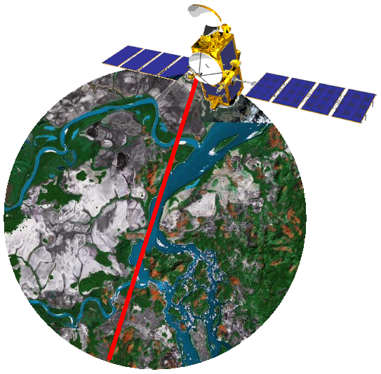
Although initially developed for studying ocean surfaces, satellite altimetry rapidly broadened its scope to include monitoring of ice sheets and the levels of major inland waters such as the American Great Lakes and other inland seas. Such relatively large bodies of water lend themselves to good quality observations, as the measurement conditions are close to those of the open ocean. Gradually, the increasing mastery of the altimetry technique, the application of processing and correction techniques which are specific to inland conditions, and the development of algorithms which attempt to improve the discrimination between signals reflected off land and signals reflected off water, have enabled smaller features to be monitored and measurement quality to be improved. This is crucial because, whereas for the ocean the altimeter only measures a homogeneous surface (the water), for land, it must also deal with considerable topographical or textural contrasts which could unbalance it and cause it to lose lock. Another constraint is due to the radar altimetry technique itself. The altimeter provides measurements precisely at the satellite's nadir, i.e. for a limited area along the satellite's ground track, which restricts spatial sampling and rules out any global, systematic monitoring of inland waters. In an ideal configuration, water levels measured by altimetry were estimated to be accurate to within 10 cm, which is more than adequate for monitoring the seasonal amplitude of rivers such as the Amazon, which can vary enormously.
Further information:
- Applications: Hydrology
Downloads
| File | Type | Size | Lang | Resolution | Creation date | Represented date |
|---|---|---|---|---|---|---|
| hydrologie_en.avi | Video | 11.75Mb | en | 2008-06-30 | ||
| hydrologie_fr.avi | Video | 11.64Mb | fr | 2008-06-30 | ||
| J2_video_hydro.png | Image | 336.36kb | 543x533 | 2008-06-30 |
- Instrument : Altimeter
- Parameter : Surface height
- Topic : Hydrology