

Cnes/Mira Production, 2021
Geodesy video
updated 2021
Is the land sinking or the sea rising? Space geodesy might just have the answer! Systems combining ground networks and satellites, like for example DORIS, GPS and Galileo, or satellites like GOCE make it possible to measure elevation and ground displacement with millimetre accuracy. One
field of study covered by space geodesy is the impact of tidal forces on the displacement
of Earth’s crust. At high tide, geodetic measurements show that the ground sinks 4 centimetres in Biarritz and 2 centimetres in Toulouse as a result of ocean masses.
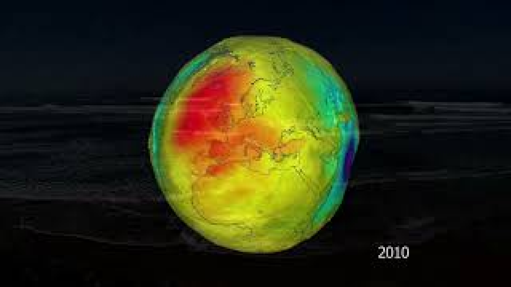
Postglacial rebound is due to melting of the thick polar ice caps that began 10,000 years ago. This rebound is ongoing in Siberia, Canada and Greenland, where the land
is rising at a rate of one centimetre a year. Today, the phenomenon is being amplified
by ice melt as a result of global warming. The GRACE space mission observed that over the last decade Greenland lost the equivalent of 1 metre of water over its entire land surface.
Studying such displacements is also vital to gauge the impact of rising sea level fuelled by global warming in coastal areas and large estuaries. In some places, uplift is faster than sea level rise. In regions where postglacial rebound is occurring, populations are therefore actually seeing sea level fall.
In other regions, due to human activities or accumulation and compaction of sediments, the ground is subsiding and displacement is happening on top of rising sea level, which is happening at a rate faster than 3 mm a year, amplifying erosion and submersion. This is the case in the Camargue [region in the South of France], where sediments are compacting, causing the ground to subside by 1 mm a year while the sea level continues to rise at a rate of more than 3 mm a year. It is also the case in Venice and many other large estuaries where anthropogenic pressures are accelerating ground subsidence.
https://www.aviso.altimetry.fr/en/applications/geodesy-and-geophysics/geodesy.html
https://youtu.be/zzkaDdB8HeE
Downloads
| File | Type | Size | Lang | Resolution | Creation date | Represented date |
|---|---|---|---|---|---|---|
| 12_geodesy.jpg | Image | 5.03kb | 320x180 | 2021-10-01 | ||
| 12_geodesy.mp4 | Video | 26.18Mb | en | 2021-10-01 | ||
| 12_geodesy.pdf | Electronic document | 2.96Mb | en | 2021-10-01 | ||
| 12_geodesie.mp4 | Video | 26.29Mb | fr | 2021-10-01 | ||
| 12_geodesie.pdf | Electronic document | 2.96Mb | fr | 2021-10-01 |
- Geographic area : All oceans
- Instrument : Altimeter, Doris
- Parameter : Surface height
- Topic : Geodesy
- Satellite : Multimission