

Cnes/Mira Production, 2021
Camargue video
updated 2021
Will Europe’s first climate refugees be from the Camargue? Here, humans have waged a constant battle against the Rhone and the Mediterranean to shape the land. Civil engineering work, notably the dyke built in the late 19th century, has enabled 150,000 hectares to be reclaimed from former marshlands for livestock and crops. But in the last few decades, the shoreline has been receding an average 4 metres per year.The extent of erosion and soil salinization is spectacular and a changing climate bodes ill for the future.The current dikes and other natural barriers will be powerless to check the inescapable rise in sea level and likely more-frequent big storms.25% of the Camargue today lies below sea level and 70% less than a metre above.According to the IPCC, sea level is likely to rise by anything from 60 to 110 centimetres by the end of this century. And finally, the flow of the Rhone is also likely to decrease. By 2050, it’s estimated the river’s discharge could drop by 30% on average and 50% in summer, bringing fewer alluvial deposits as a result.
Today, two competing solutions are envisioned. Erect dykes and levees at all costs, a solution that sometimes produces questionable results. In particular, dykes channel alluvial deposits out to sea while the delta continues to erode. And maintaining such structures is very expensive. Or favour a strategic retreat, allowing nature to take its course and erect its own barriers, at the risk of jeopardizing farming and other businesses.The key is to hit the sweet spot between these two solutions, but we lack a global tool to inform decisions.What kind of dyke should we erect to protect towns and cities? What kind should we erect or even abandon, leaving nature to restore natural defences upstream?
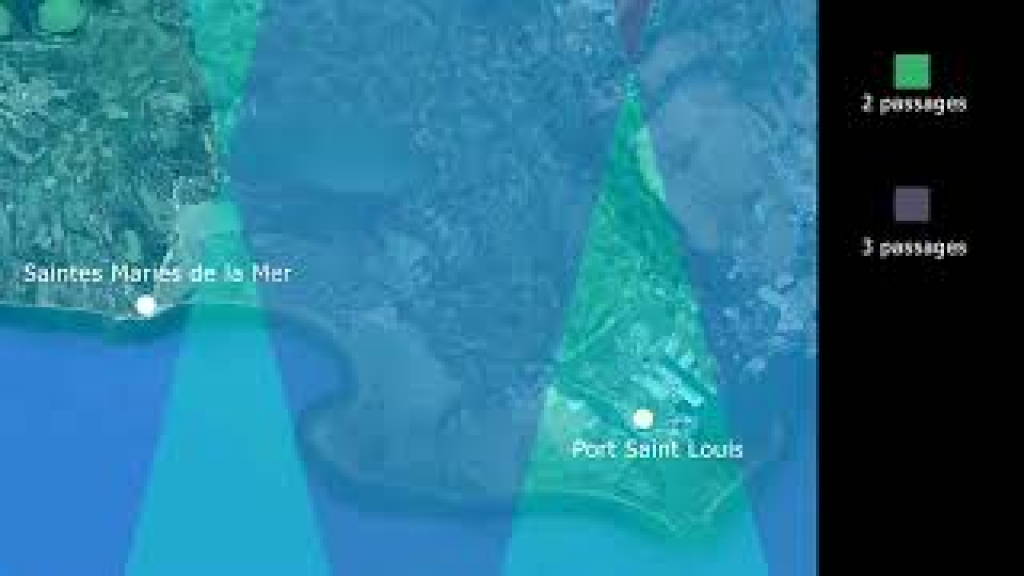
Altimetry satellites are helping to address this conundrum in several ways. Year after year, they are monitoring not only rising mean sea level but also regional disparities, notably in the Mediterranean basin and along the Camargue coast.
Alongside the Copernicus programme’s Sentinel satellites, the future Swot satellite will offer high two-dimensional resolution, covering the entire region every 21 days to survey and deliver new insights into coastal seas and the currents and eddies that contribute to the process of erosion. It will supply detailed data on the volume and discharge of freshwater in rivers and wetlands. Combining data on land surface hydrology and coastal oceanography will give a synoptic view, helping scientists to validate a model of water dynamics in delta regions and land planners to better adapt human activities to the reality of climate change in the Camargue.
Downloads
| File | Type | Size | Lang | Resolution | Creation date | Represented date |
|---|---|---|---|---|---|---|
| 17_camargue.jpg | Image | 5.96kb | 320x180 | 2021-10-01 | ||
| 17_camargue_va.mp4 | Video | 39.31Mb | en | 2021-10-01 | ||
| 17_camargue_va.pdf | Electronic document | 2.54Mb | en | 2021-10-01 | ||
| 17_camargue_vf.mp4 | Video | 40.01Mb | fr | 2021-10-01 | ||
| 17_camargue_vf.pdf | Electronic document | 2.56Mb | fr | 2021-10-01 |
- Geographic area : Europe, Mediterranean Sea
- Instrument : Altimeter
- Parameter : Sea level anomalies
- Topic : Coastal applications, Mean Sea Level, Tides
- Satellite : Jason-1, Jason-2, Jason-3, Sentinel-6 (Jason-CS), Swot, Topex/Poseidon