Home
Browse By
Terms of use
Multimedia Gallery
Browse by Satellite
Saral
Saral Gallery
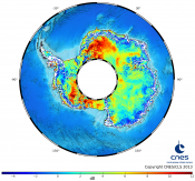
First Saral/AltiKa backscatter over Antarctica ice sheet
Click for more details
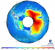
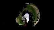
First Saral/AltiKa topography over Antarctica ice sheet
Click for more details
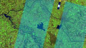
Sea level anomalies measured by AltiKa
Click for more details
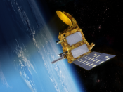
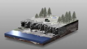
Artist view of the Saral satellite (CNES/ISRO)
Click for more details
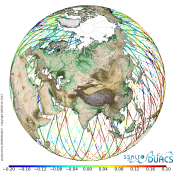
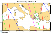
Animation with the 4 satellites grounds tracks (Jason2-Saral/AltiKa-Cryosat2-HY2A)
Click for more details
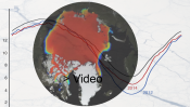
Altimetry applications in videos : Arctic
Click for more details
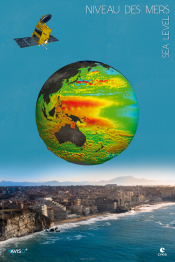
Saral / sea level poster
Click for more details
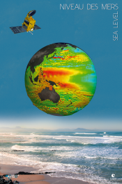
Saral / sea level poster
Click for more details
25 years of space oceanography (video)
Click for more details
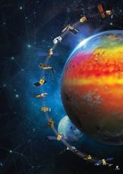
Altimetry mission since 1991
Click for more details
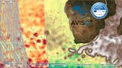
Panel of products distributed by AVISO+ and CMEMS
Click for more details
Arctic video
Click for more details
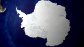
Antarctic video
Click for more details
Hydrology video
Click for more details
Permafrost thaw video
Click for more details