


Auxiliary products
Auxiliary products are most often satellite altimetry by-products, but sometimes they are combined with other types of data (in situ, tide gauges..).
Mean Sea SurfaceMSS_CNES_CLS2022Mean sea surface height wrt T/ P or WGS84 reference ellisoid computed on a 20 years period (1993-2013) with 29 years of altimetry data. This Mean Sea Surface (also called MSS) corresponds to marine geoid undulations (±120 meters ) and to the "permanent" sea level rise (1-2 meters). | 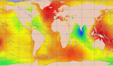 |
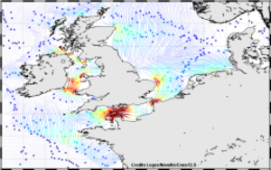
Mean Dynamic TopographyMDT_CNES-CLS22 | 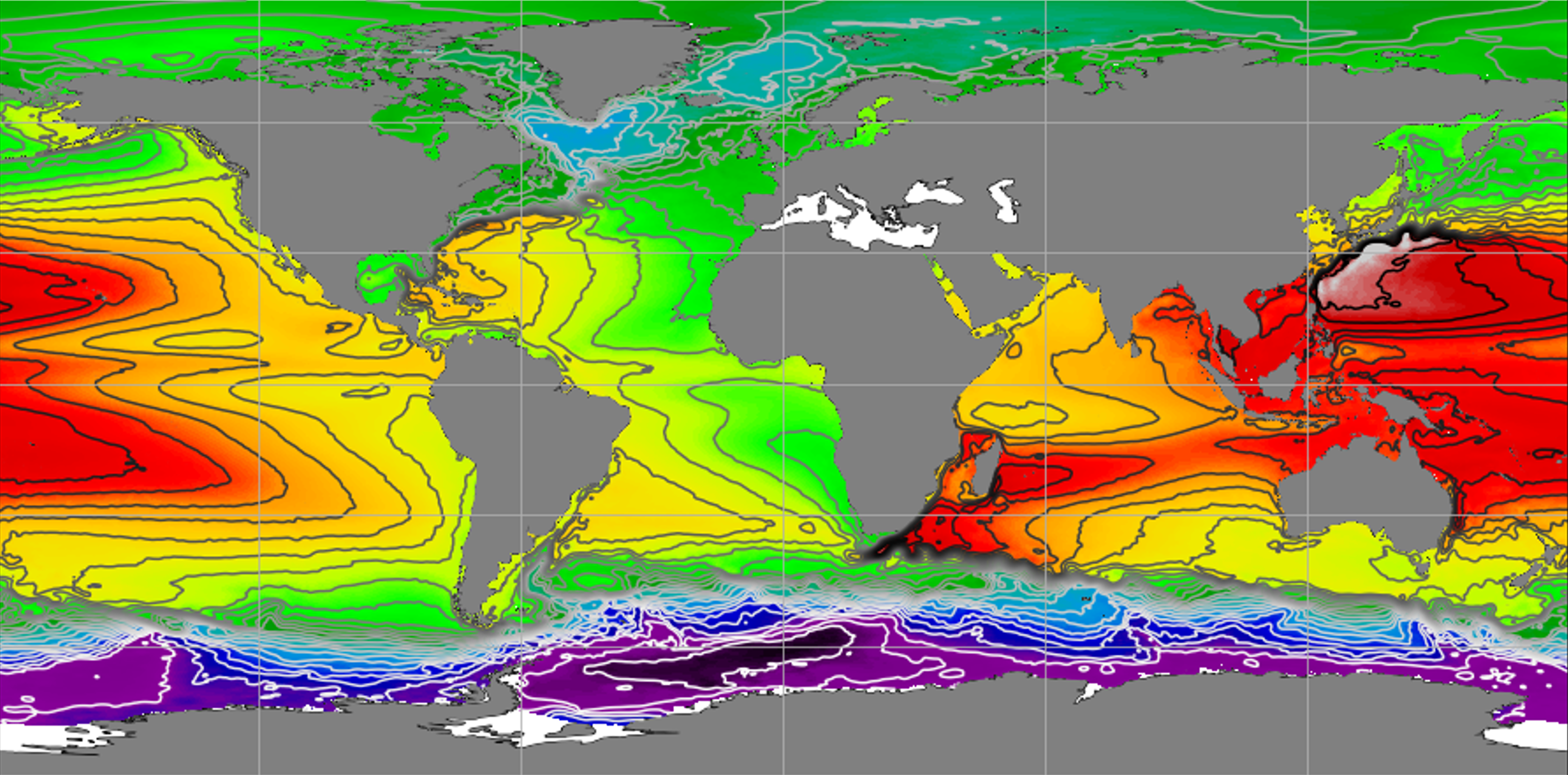 |
Mean Dynamic TopographyMDT_HYBRID-CNES-CLS22-CMEMS2020 | 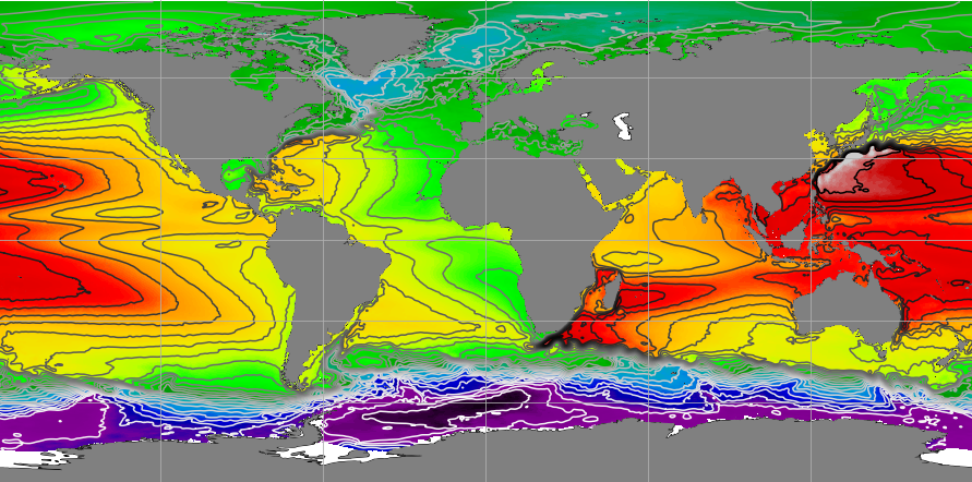 |
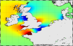
Mean Dynamic TopographySMDT2014-20Y_MED | 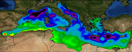 |
Global tideFES2014 |
|
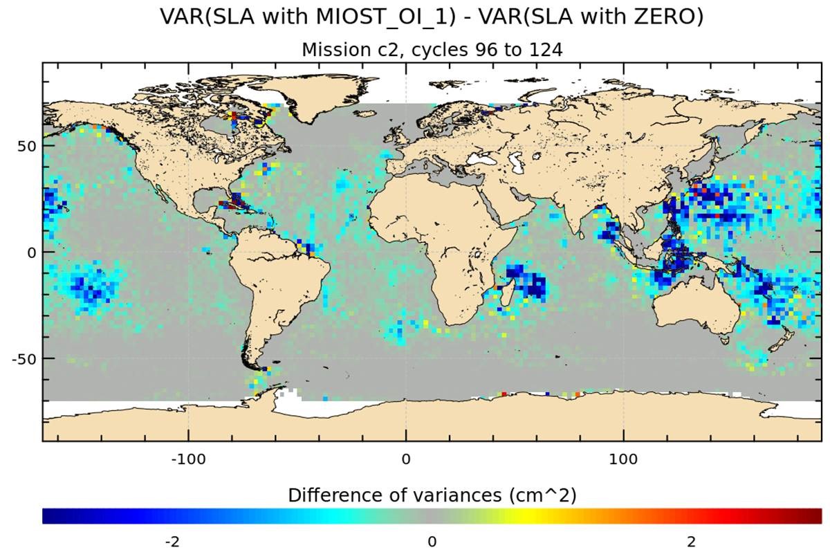
Internal Tide MIOSTMIOST-IT |
|
Coastal tideX-TRACK Tidal Constants | 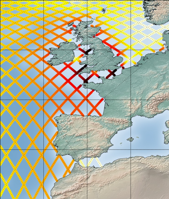 |
Atmospheric CorrectionDynamic Atmospheric Correction | 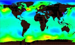 |
Atmospheric CorrectionDynamic Atmospheric Correction dedicated to SWOT Calval phase | 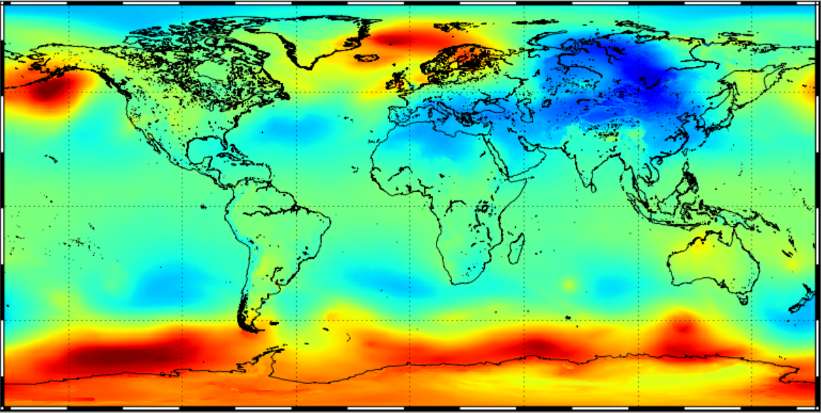 |
Atmospheric CorrectionGPD+ Wet tropospheric correction | 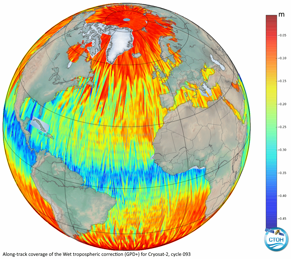 |
Atmospheric CorrectionWet tropospheric correction from water vapour climate data records | 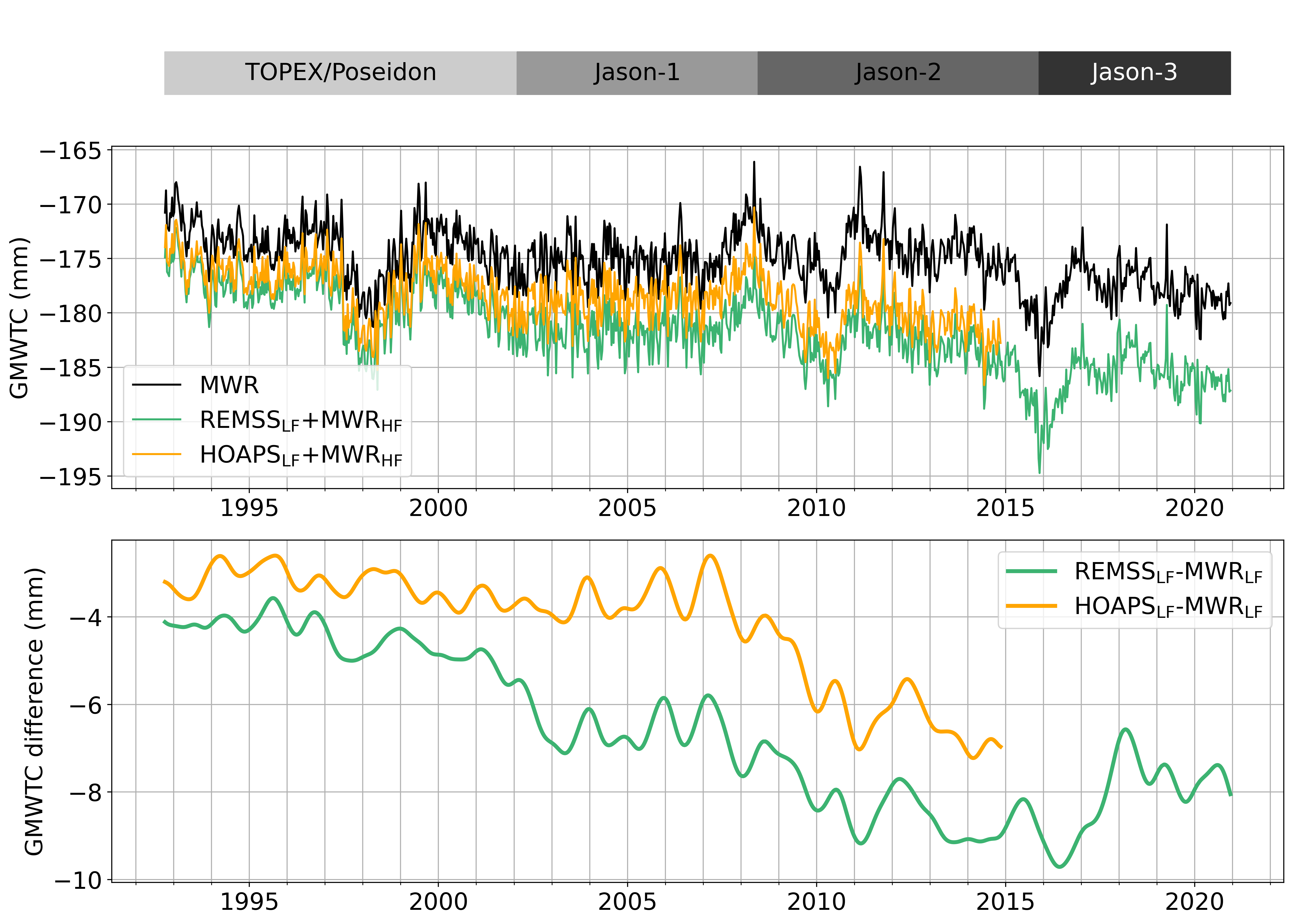 |