Seewater Aviso
Welcome to the Aviso Product Visualizer.
Seewater provides the opportunity to visualize some of the key products distributed by Aviso.
The products are divided into four categories:
- Ocean Surface Topography
- Ocean Wind and Waves
- Ocean Other Variables
- Atmosphere.
Products currently available on Seewater
- Maps of Sea Level Anomalies (MSLA) global and regional
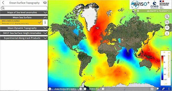
- Mean Sea Surface (MSS)
- Mean Dynamic Topography (MDT)
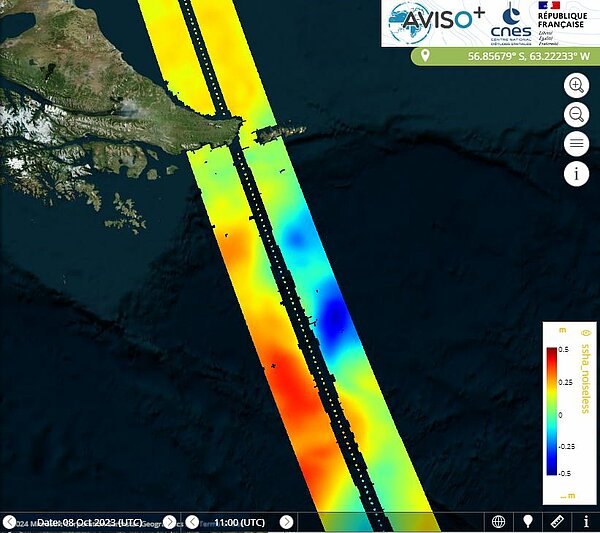
- SWOT sea surface height anomalies (L2/L3 products)
- Experimental along-track products (L3 products)
- Maps of wind velocities
- Maps of wave heights
- CFOSAT/SWIM near real-time wave heights (L2P products)
- Maps of Filaments (FSLE)
- Sargassum Floating Algae Index (FAI)
- Maps of Dynamic Atmospheric Correction (DAC)
User manual
To learn more about Seewater, refer to the online documentation available at this link.
Notes
- SWOT L2 and L3 products, Filament Maps (FSLE), and CFOSAT/SWIM Wave products take longer to display than other products due to their high resolution.
- Some examples of product visualization:
- Additional resources proposed by CNES for searching SWOT passes are available on Github. To launch the "Search SWOT passes" application, click here.
Acknowledgements
Seewater Aviso is a visualization tool funded by CNES. It is developped, maintened and operated by CLS.
Comments and Suggestions
Suggestions to improve our service are welcome at the following address : aviso(at)altimetry.fr


