


AltiKa, a Ka-band altimeter
The altimeter named AltiKa onboard Saral uses a single frequency in Ka-band (35.75 GHz). It is the first oceanographic altimeter using such a high frequency. This Ka-band is much less affected by the ionosphere than one operating at Ku-band, and has greater performance in terms of vertical resolution, time decorrelation of echoes, spatial resolution and range noise. Its main drawback is that Ka-band electromagnetic waves are sensitive to rain. However, this does not prevent them from acquiring a fairly high percentage of measurements, except for strong rain rates.
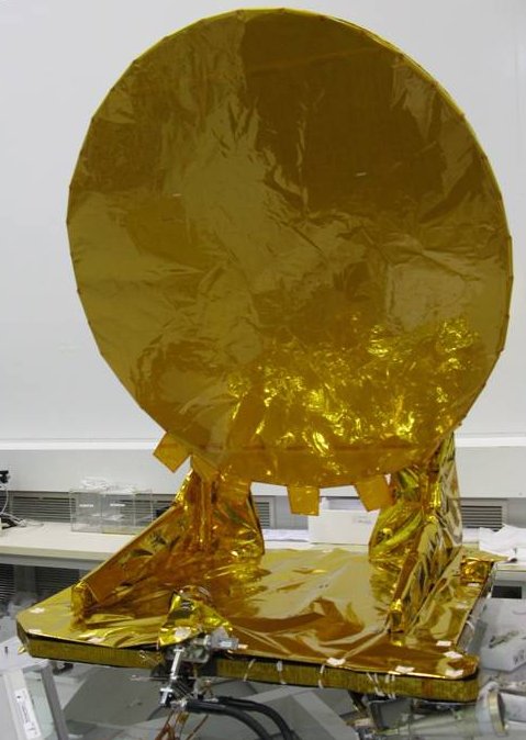
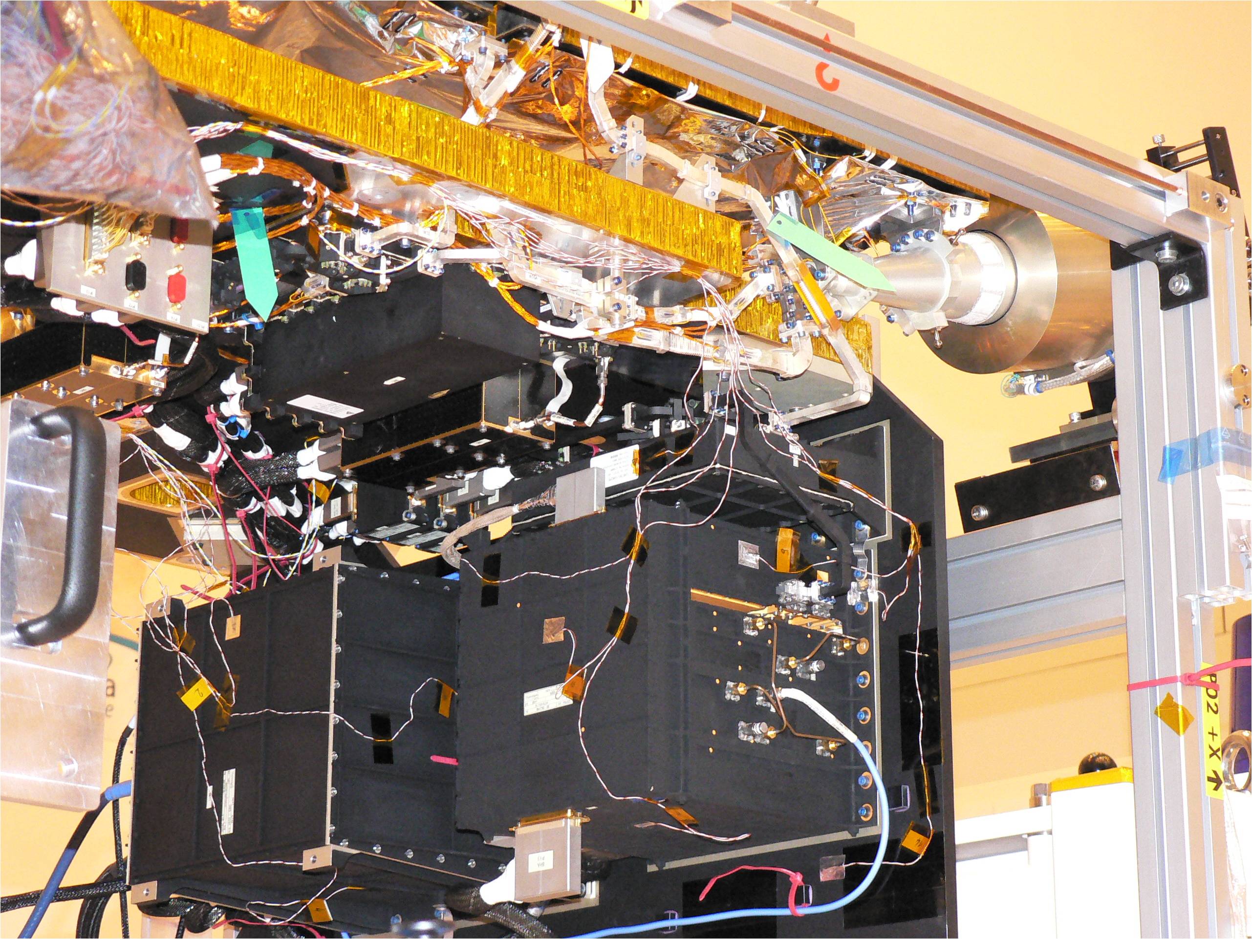
Two components of Altika altimeter with the antenna (left) and the Altimeter Microwave Unit (right). Credits Cnes.
Use of the Ka-band
Use of the Ka-band for an altimeter provides:
- Low ionospheric attenuation (this can be considered as negligible, except for some exceptional ionospheric situations) and would therefore eliminate the need for a dual-frequency altimeter. The Doris system can provide data for ionospheric corrections whenever there are significant perturbations.
- Higher pulse repetition frequency (4 kHz). The decorrelation time of sea echoes at Ka-band is shorter than at Ku-band. This makes it possible to increase significantly the number of independent echoes per second compared with Ku-band altimeters.
- Larger bandwidth (up to 500 MHz). The 500 MHz bandwidth that can be used at Ka-band provides a high vertical resolution (0.3 m) which is improved with respect to other altimeters (including Jason-1 and Envisat).
- Better description of sea surface roughness than at Ku-band
The eight-millimetre wavelength is better suited to describing the slopes of small facets on the sea surface (capillary waves, etc.) and enables more accurate measurement of the backscatter coefficient over calm or moderate seas, thus leading to a noise reduction of a factor of two compared to Poseidon, for wave heights greater than 1 m. - Lower radar penetration of snow and ice (penetration of snowpack is less than one centimetre at Ka-band, compared with five metres at Ku-band) The altimetric observation and height restitution thus correspond to a thin subsurface layer. This should improve measurements of snowpack with respect to ice aging in the surface layers of the polar ice caps. Moreover, ice grain size would also be measurable. Combined with better spatial resolution, Ka-band would therefore allow closer monitoring of sea and continental ice.
Water attenuation in Ka-band
The one major drawback of Ka band is that attenuation due to water or water vapor in the troposphere is high. The radiometer will measure propagation delays due to tropospheric water vapor. However, rain cells-which are often dense and frequent in the Tropics-will remain a constraining factor, since the radar wave can be attenuated by 2 dB in heavy rain. Typically, if the rain rate is higher than 1.5 mm/h, radar echoes will be unusable (in Ku band, echoes are hardly affected at rain rates less than 3 mm/h). However, impact studies done on the basis of seven years of TMR data from Topex/Poseidon show that rain rates of over 1.5 mm/h only occur globally 10 per cent of the time. AltiKa would therefore still be able to acquire measurements 90 per cent of the time. If the satellite is in Sun-synchronous orbit, rain frequency will also have to be factored in (it rains most often in the Tropics between 6:00 and 12:00 a.m. and 6:00 and 12:00 p.m.). Conversely, this 1.5-mm/h threshold will also likely enable more accurate mapping of rain cells over the ocean-one of the major remaining unknowns in the global water budget-and yield more reliable climatology data..
Technical data
| Emitted Frequency | Ka 35.75 GHz +/- 250 MHz |
|---|---|
| Pulse Repetition Frequency | ~3.8 kHz (automatically adjusted) |
| Pulse duration | 110 microseconds |
| Bandwidth | 500 MHz |
| Echo averaging | ~25 ms |
| Spectrum analyser | 128 points |
| Altimeter link budget | 11 dB (sigma naught= 6.5 dB) |
| Antenna diameter | 1.0 m |
| Mass* | <42kg |
| Focal length | 0.7 m |
| Offset | 0.1 m |
| Power consumption* | <100W |
*Altimeter+Radiometer
Missions
- Timeline Altimetry.
 Past missions .
- Current missions .
- Cryosat .
- Saral .
- Saral for all users.
- Instruments .
- AltiKa, a Ka-band altimeter.
- AltiKa, a dual frequency radiometer.
- Doris.
- LRA.
- Orbit.
- Pre-launch.
- Ground segment.
- Mission performances.
- Jason-3 .
- Sentinel-3A .
- Sentinel-3B.
- CFOSAT .
- HY-2B.
- HY-2C.
- HY-2D.
- Sentinel-6MF .
- Swot .
- Sentinel-6B.
- Future missions .