


Altimetry, 20 years and still growing
Image of the Month - August 2012
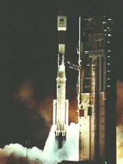
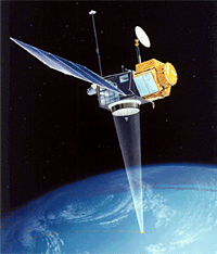
This month will see the 20th anniversary of the launch of the Topex/Poseidon mission (on August 10, 1992). If Topex/Poseidon is not the first altimetry mission ever (ERS-1 was launched the year before, and several other satellites proved the concept earlier), its launch marks the beginning of a new era for this technique. From then on, the community using altimetry data grew, the number of uses, applications and results bloomed in a wide number of fields.
Blooming applications
Twenty years ago, the objectives of Topex/Poseidon were physical oceanography at large scale, geoid and climate. However, the "unexpected" uses of altimetry (and/or altimetry and auxiliary data) diversified hugely along the years. Here are a few examples (links to first and last references to the subject in the "Images of the Month") of some of those surprises.
Over other surfaces than ocean proper:
- Hydrology (monitoring of river and lake level) is probably one of the first "non-ocean" application to be developed.
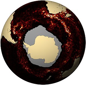
(Aug. 1999: Great Lakes as seen by Topex/Poseidon,... Dec. 2011: Missing: water ) - ice, albeit mostly sea ice for T/P and the Jasons, since they "only" measure up to 66° in latitude - but a lot of interesting results were produced with ERS and Envisat (Apr. 2000: Rivers of ice in Antarctica,... Jun. 2012: Antarctica thinning seen by Envisat), now also with Cryosat.
- land surfaces (Jan. 2004: Altimetry over land)
New perspectives on the altimetry data were found by researchers (extracted from the radar echoes, from backscatter, etc.)
- extracting information of surface roughness from backscatter (leading to, e.g. island "mapping" Dec. 2010: An island "seen" by altimeter)
- icebergs monitoring (Nov. 2008: Counting icebergs)
Mixing data from altimeters and onboard radiometers brought some interesting perspectives:
- ice types classification and dates of freeze-up, mixing altimetry & radiometry (Jun. 2008: Sorting ice from space ... Feb. 2009: Water or ice?; May 2006: Ice on Lake Baikal)
- rain (Mar. 2000: Raindrops keep falling on the sea, Jun. 2005: Cloudy skies)
And, last but not least, over ocean using the "classical" altimetry data, unplanned applications arose:
- mesoscale studies, including eddy monitoring, etc. The fact that for the last twenty years at least 2 altimetry satellites were measuring at the same time enabled to access to mesoscale ocean features, while with only Topex/Poseidon or Jason, these would have been only glimpsed.
(Jul. 2000: Where currents meet ... Mar. 2011: 177,000 eddies in the oceans, Mar. 2012: Following Kuroshio paths) - cyclone intensification, using dynamic topography to compute heat potential (Apr. 2001: Tracking hurricanes, ...)
- filaments, extracting sub-mesoscale structures from series of altimetry mesoscale maps (Oct. 2008: Thread-like structures extracted from altimetry)
- from the geoid, and in situ measurements, bathymetry is extracted
- and, of course, operational oceanography, unplanned for at first (no "near-real time" data were produced at the beggining of T/P) is now part of the standard objectives of the Jason-2 mission (and Jason-3's)
Also, now, studies and end-user applications mix several techniques: altimetry and other satellite sensors (Sea Surface Temperature, ocean color or Synthetic aperture Radar, etc.) , altimetry and in situ (Argo, etc.), altimetry and models...
A growing community
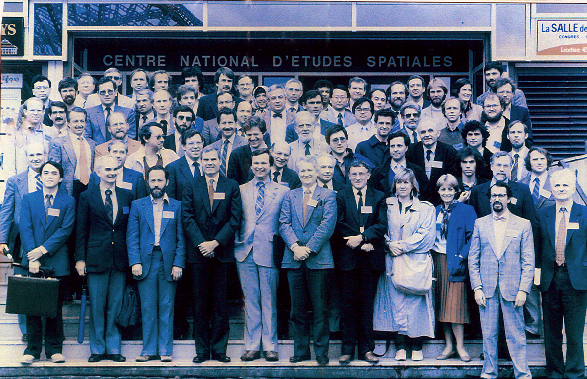
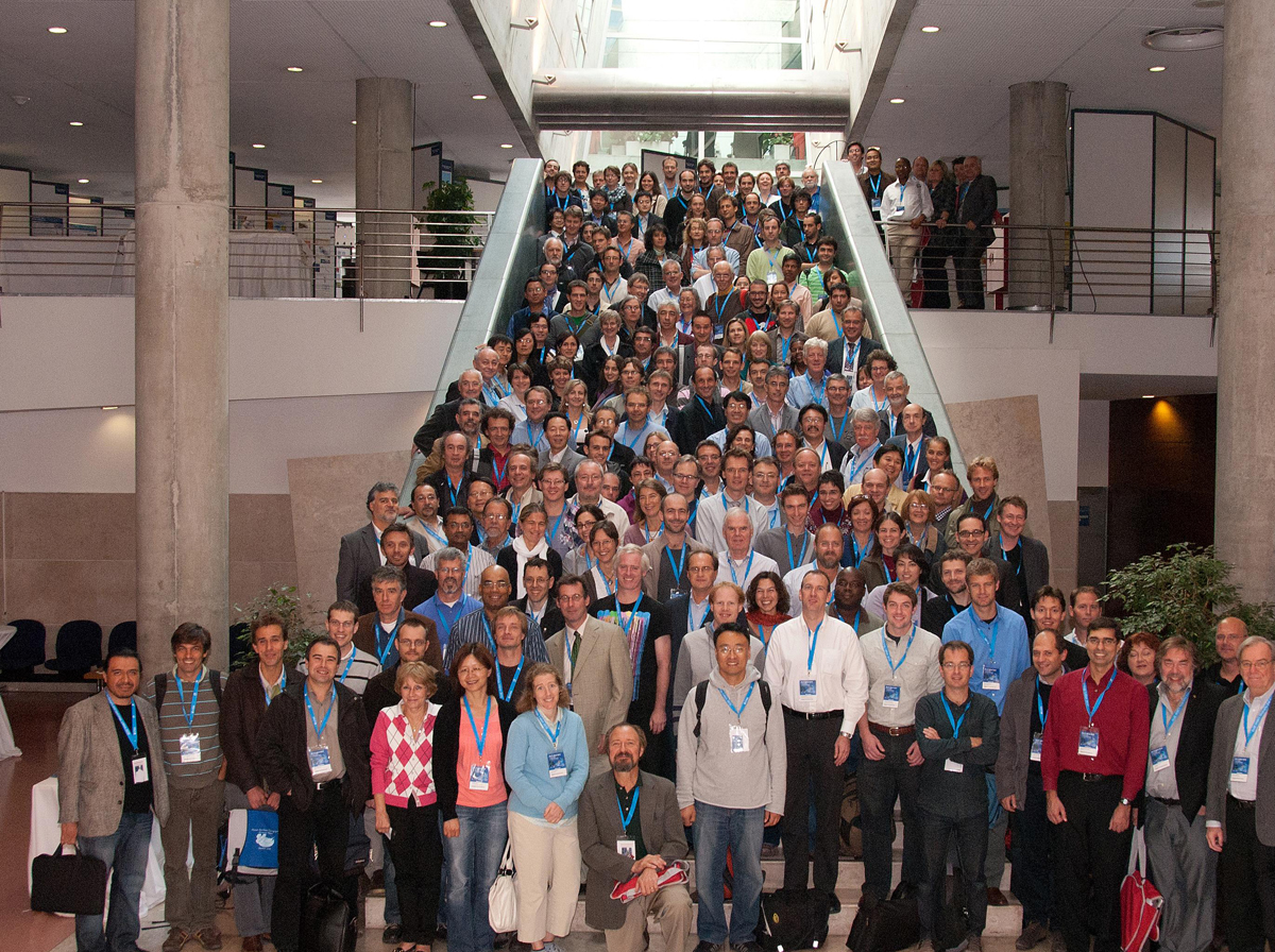
At the very beginning of Topex/Poseidon, the community of users consisted mostly in the 35 Principal Investigators (and their teams) of the Science Working Team. Now, the Ocean Surface Topography Science Team itself is about 85 PIs, and the annual meetings include about 200 persons. Next meeting will include even more engineers, researchers and scientists (more than 400), since, to celebrate the 20 years of altimetry, a general altimetry meeting will be held end of September, in Venice.
110 Aviso users were registered by 1993 (Aviso Newsletter #2, May 1993) ; now there are more than 3200, and this including "only" direct users registered to Aviso. Other data centers do distribute altimetry data. Moreover, altimetry is in fact useful for a much larger number of persons, e.g. through ocean models outputs, since those assimilate altimetry data routinely.
See also:
News
 Archives .
- Aviso Newsletter .
- Search.
- Front-page news.
- Image of the month .
- 2026 .
- 2025 .
- 2024 .
- 2023 .
- 2022 .
- 2021 .
- 2020 .
- 2019 .
- 2018 .
- 2017 .
- 2016 .
- 2015 .
- 2014 .
- 2013 .
- 2012 .
- Dec. 2012: Winds and currents around India.
- Nov. 2012: Arctic trends.
- Oct. 2012: Accelerated eddy shedding.
- Sep. 2012: Getting smaller details.
- Aug. 2012: Altimetry, 20 years and still growing.
- Jul. 2012: North Atlantic Subpolar front shifts .
- Jun. 2012: Antarctica thinning seen by Envisat.
- May 2012: Jellyfish on the move.
- Apr. 2012: Phenomenal seas.
- Mar. 2012: Following Kuroshio paths.
- Feb. 2012: Up North.
- Jan. 2012: Tsunami debris on the Pacific.
- 2011 .
- 2010 .
- 2009 .
- 2008 .
- 2007 .
- 2006 .
- 2005 .
- 2004 .
- 2003 .
- 2002 .
- 2001 .
- 2000 .
- 1999 .
- 1998 .
- Operational news and status .