


News
[Jason-2] Happy birthday Jason-2
The Jason-2 oceanography satellite was launched on June 20, 2008. For the past 11 years, it has been accurately measuring the surface topography of the oceans.
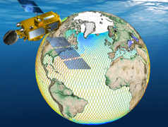
Eleven years ago, on June 20, 2008, Jason-2 was successfully launched as a result of a collaboration between CNES, NASA, EUMETSAT and NOAA.
June 20, 2008. From the California base at Vandenberg, the Delta-2 rocket was launched to put the satellite into orbit. A few hours later, the payload instruments were on (the DORIS 1 precise orbit determination and positioning system at 18:45, the POSEIDON3-1 altimeter at 11:12, the AMR-H radiometer at 11:38, and the GPSPA at 11:40). Only two days later, the first near-real-time "OGDR" product was processed at CNES premises while NOAA and EUMETSAT began operational production in mid-July.
Today, after more than 60,000 orbits around the Earth, Jason-2 is still in service with excellent performance in measuring ocean surface heights and we hope it will continue.
Further information:
- The mission <link internal-link>Jason-2
- <link internal-link>Mission performance
- <link internal-link>Jason-2 videos on altimetry applications


