


Conclusions
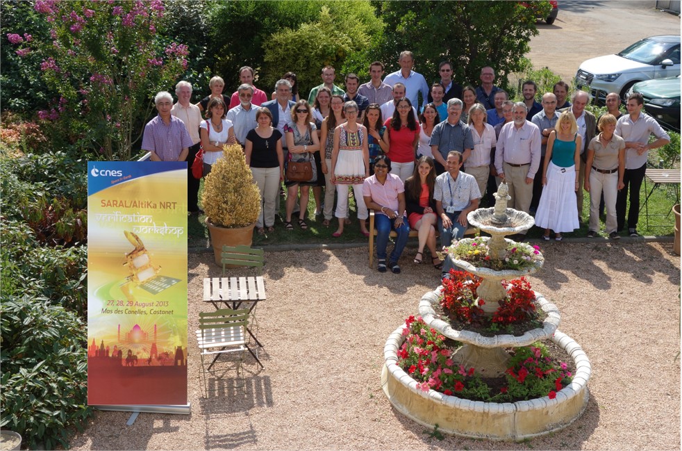
Please find hereafter the main conclusions of the first Saral Verification Workshop, which has been held on August 27-28-29th in Toulouse.
Synthesis
The performances of the payload instruments and the quality of the results has to be underlined, especially just a few months after the launch.
- OGDR and IGDR products have been distributed to all Users from June 25th; GDR products are available to PIs since August 2nd.
- Some algorithms are still to be tuned: neural network used for radiometer data ground processing, Sea State Bias computation, altimeter wind speed and ICE2 retracking.
- According to users presentations, the main message of this meeting is the easiness to use the data (thanks to the ground segment operationnality and the expertise of the users). The level of quality achieved by the products in terms of accuracy, data latency and availability is such that the Saral/AltiKa data are now operationnaly integrated in several forecast systems (in Europe : CNES SALP, Météo France, Mercator, ECMWF, in India : ISRO/INCOIS, in Australia : CSIRO, in USA : NOAA, Navy).
- The catchword for the Saral/AltiKa data could be "ready to use".
 |
Disclaimers and foreseen evolutions
The objectives of the current version (patch 1 applied) are recalled.The disclaimers can be found in the User Handbook.
The GDR in V1are delivered to the PI since August 2nd, and their good quality has already been assessed.
As a consequence, it has been decided to deliver the GDR_T ("T" for test) to all users (via AVISO ftp server) in the current version by September.
Then the foreseen products evolutions V2 have been detailed by the project, and the level of priority has been discussed with the PIs.
The V2 will be prepared by end 2013, to be available early 2014 and evaluated in frame of the second verification workshop (foreseen in April 2014).
- Geophysical updates
- Geophysical updates wind/sea state bias : it has been proposed to implement the 1-parameter algorithm (based on the attenuated sigma0) suggested by R. Scharroo and J. Lillibridge. For that purpose, the atmospheric attenuation will be improved. --> high priority
- matching pursuit algorithm : the updated solution presented during the meeting has to be implemented. For the rain flagging, the method presented by G. Quartly could be documented in the User Handbook (TBC). --> medium priority
- the neural network for the radiometric correction : the new data base (DBA2012, 3 parameters) has to be implemented. Thus the Liquid Water Content will be improved but not yet perfect. --> high priority
- coastal radiometric correction based on the Envisat method : the land pollution occurs at about only 6 km from the coast, and the Envisat method is not perfect --> low priority
- ice2 retracking : an updated solution has to be implemented to take into account the Ka-band characteristics (on-going analysis at LEGOS) --> high priority
- ice1 and sea ice retrackings : further analysis are needed.
- TRIODE : improvement of the ground processing of the on-board DIODE orbit estimation. the Doris team has to check if it is feasible in the V2 --> medium priority
- FES2012 : this new tidal model is available on the AVISO website but not yet included in the L2 products --> high priority
- surface flag based on GlobCover : the background is that it would be only a nadir point (and not the closest point) --> low priority
- distance to the coast : it will be also a distance taking into account the nadir point --> medium priority
- Review of the configuration files to explain the range bias (about 6cm) --> it will be checked in the coming weeks --> high priority
- Instrument processing updates (no impact on the L2 products) --> when feasible
- Product updates :
- MQE scale factor --> low priority
- to update the maneuver flag : it seems to be too early, more data have to be analyzed.
- to identify new parameters : new relevant parameters can be proposed by the scientist.
- to change the version product from "T" to "D" : Postponned after next Verification Workshop foreseen in April 2014.
- to account for the AGC in the waveforms recorded in the L2 products : it is not recommended because users should have to uncorrect from AGC before applying a retracking (which is not so easy). It would be better to explain in the User handbook how to apply the AGC correction in order to visualize the "real" waveforms (without the gain control). --> Project shall make effort to generate a S-GDR User Handbook.
Some other updates for later implementation (V3) are listed for memory, and will be analyzed in the coming months.
PIs are encouraged to analyze this proposal from the project and to provide advices.
AVISO newsletter
The project intends to publish a dedicated Saral newsletter. For that purpose, some results presented during the meeting will be used.
Moreover, the agreement of the PIs will be asked before the publication of their interviews.
Conclusion by P. Sengenes
It was a very fruitful meeting, the quality of the results which have been presented demonstrates the performance and the easiness to use the Saral/AltiKa data only a few months after the launch.
Regarding the orbit inclination (which is not yet exactly the same as Envisat), discussions will be conducted with ISRO in order to correct it.
Conclusion by J. Verron
The Saral/AltiKa results seem to be excellent, at the same level as the Jason reference mission ones, even sometimes better.
It has to be emphasized how the data are easy to use and to integrate in operationnal systems. Warmest congratulations to the mission project.
The Saral/AltiKa mission will be in the scope of the OSTST in Boulder with several presentations expected, including a keynote talk. However, it could be relevant to keep in mind the specificities of the Saral/AltiKa mission (among them the use for the first time of an altimeter in Ka-band) with respect to the OSTST (more dedicated to the ocean).
It could be relevant to hold the next Saral verification workshop around April 2014, possibly in India, mainly aiming at reviewing and assessing the quality of GDR data and discussing first scientific results.
The 2014 OSTST will be in Germany and it is planned to have a joint dedicated Saral/AltiKa symposium.
A call for contributions to a special scientific journal issue on Saral/AltiKa will be proposed in the middle of 2014.
See further information on Level-2 products processing evolutions.
CNES Saral project team,